Remote Sensing and Ecosystem Modeling
The purpose of the Remote Sensing and Ecosystem Modeling sub-programme is to create products and frameworks aligned with the three science themes from the GEM 2022-2026 strategy, for use by national/international stakeholders and researchers. The data from the Remote Sensing and Ecosystem Modeling sub-programme will be made freely available to users, and we will put an effort in upgrading the GEM database to include these datasets with oftentimes high storage space requirements.
- Product 1: Satellite-based cloud cover
- Product 2: Downscaled 2m monthly air temperature grids
- Product 3: Skin and sea surface temperature from satellite
- Product 4: Snow depth (snow water equivalent) model
- Product 5: High resolution snow cover (over land and sea ice) and albedo
- Product 6: Carbon, water, energy cycles modeling
- Product 7: Enhanced high resolution land-cover classification
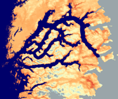
- Product 8: Topographic wetness index (TWI)
- Product 9: Spectral and structural canopy diversity
- Product 10: Marine chlrorophyll-a
- Product 11: Coastal underwater light
- Operational product 12: Satellite-based NDVI
- Operational product 13: Satellite-based Land surface temperatures